Property Services


Precise Property Line Surveys
Subdivision Mapping
Route/Right of Way Surveying
Legal Descriptions and Plats

Real Estate Transation Support


ALTA/ACSM Land Title Surveys
Appraisal Maps
Tenant Improvement Surveys

Construction Support


Construction Staking
Vertical High Rise Control
Concrete Layout
Building Settlement Monitoring
Vertical Shoring Layout Monitoring
3D Model Management
Utility Coordination and 3D Modeling

Global Positioning


GPS Control Surveys
GIS Geospatial Data Acquisition
GPS Processing & Mapping

Litigation Support


Property Dispute and Inspection
Forensic Boundary Surveying
Forensic 3D Laser Scanning
Expert Witness Testimony

Civil Design Support


Topographic Surveying
Aerial Mapping
Underground Utility Mapping
3D Laser Scanning
BIM Modeling

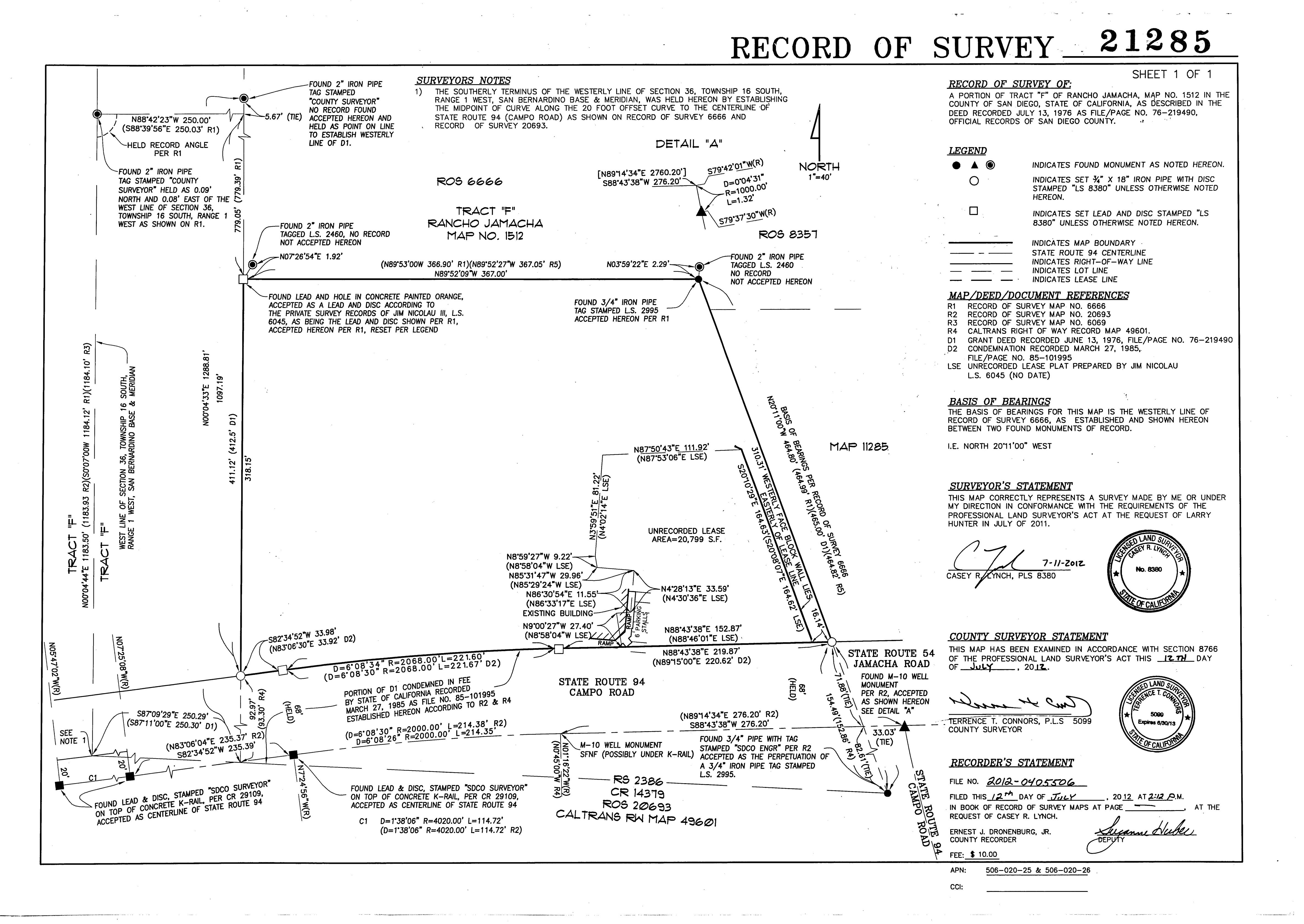
ROS_21285

Quality matters...

Quality survey reporting matters, survey products must meet all goals of the project, be concise and easy to follow.  Our standards include reporting results as artwork, worthy of being hung on a wall.

Rapid technological growth

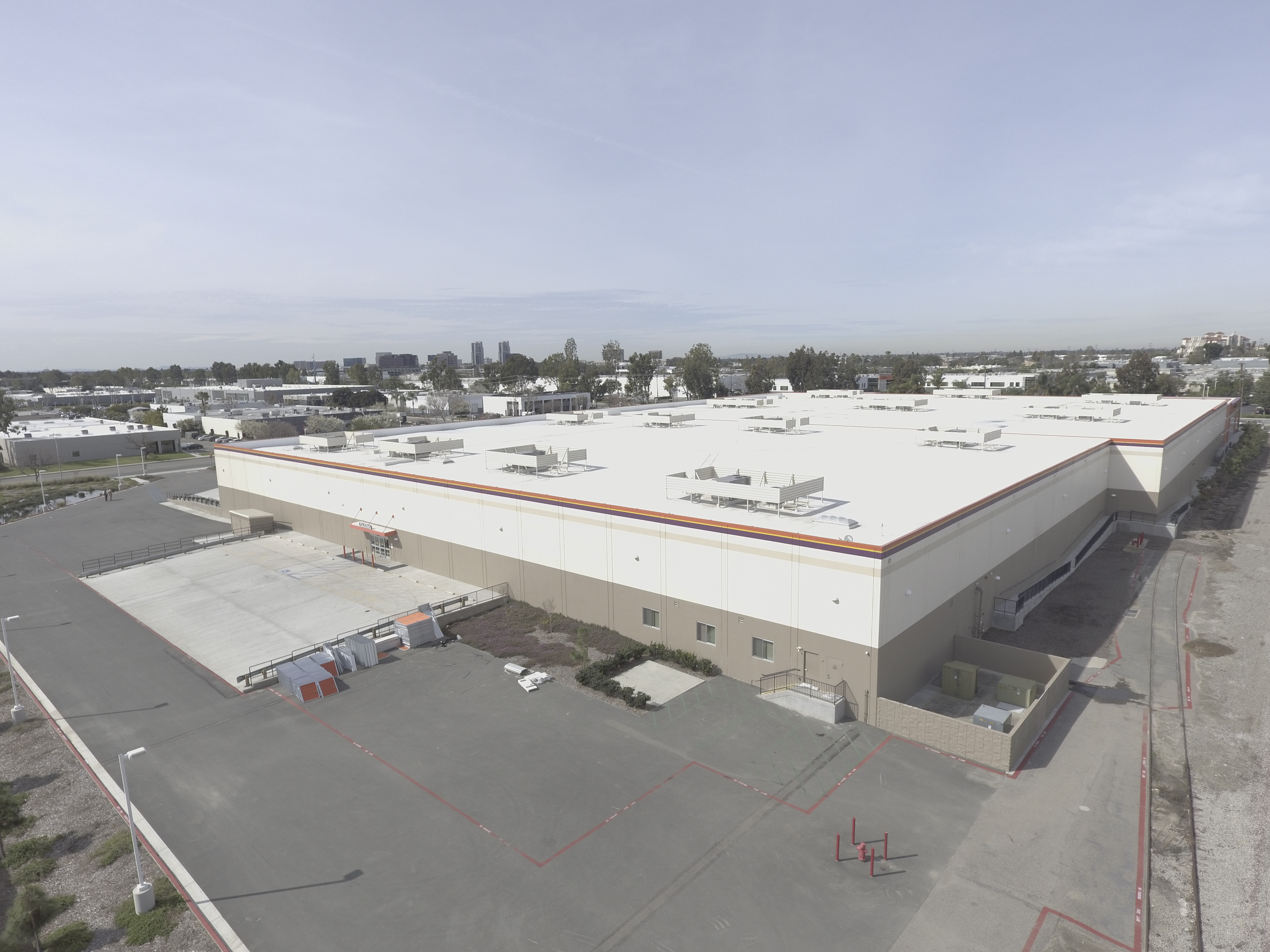
The tools Land Surveyors use each day are rapidly advancing.  Our staff and consulting partners remain at the forefront of emerging technology, include drone data capture, LiDAR and augmented reality data, bringing value and cutting edge service to your projects needs.

DCIM100MEDIADJI_0374.JPG